This Remote Arctic Park in Canada Can Now Be Visited on Google Street View
Credit to Author: Jacob Dubé| Date: Thu, 12 Oct 2017 15:08:31 +0000
It’s that time of the year when everything gets cold and sad, the deadlines are popping up, and your Halloween costume hasn’t been shipped yet. Instead of going for a stroll in your local 200-square-foot park to take a breather, now you can check out Canada’s most remote and northern park—it’s less than 800 kilometres away from the North Pole—through Google Street View.

Quttinirpaaq National Park is located on Ellesmere Island on the northernmost end of Nunavut—its name means “top of the world” in Inuktitut, the language of the local Indigenous communities. Less than 50 people visit the park each year due to its significant distance from the rest of the country—there are three landing sites where tourists can be dropped off after getting the proper permits, and they’re warned of the dangers of river crossings, avalanches, and local wildlife like polar bears. Hikes in the park can last from 9-12 days at a time.

Read More: Google Maps Will Now Display More Than 3,000 Indigenous Lands in Canada
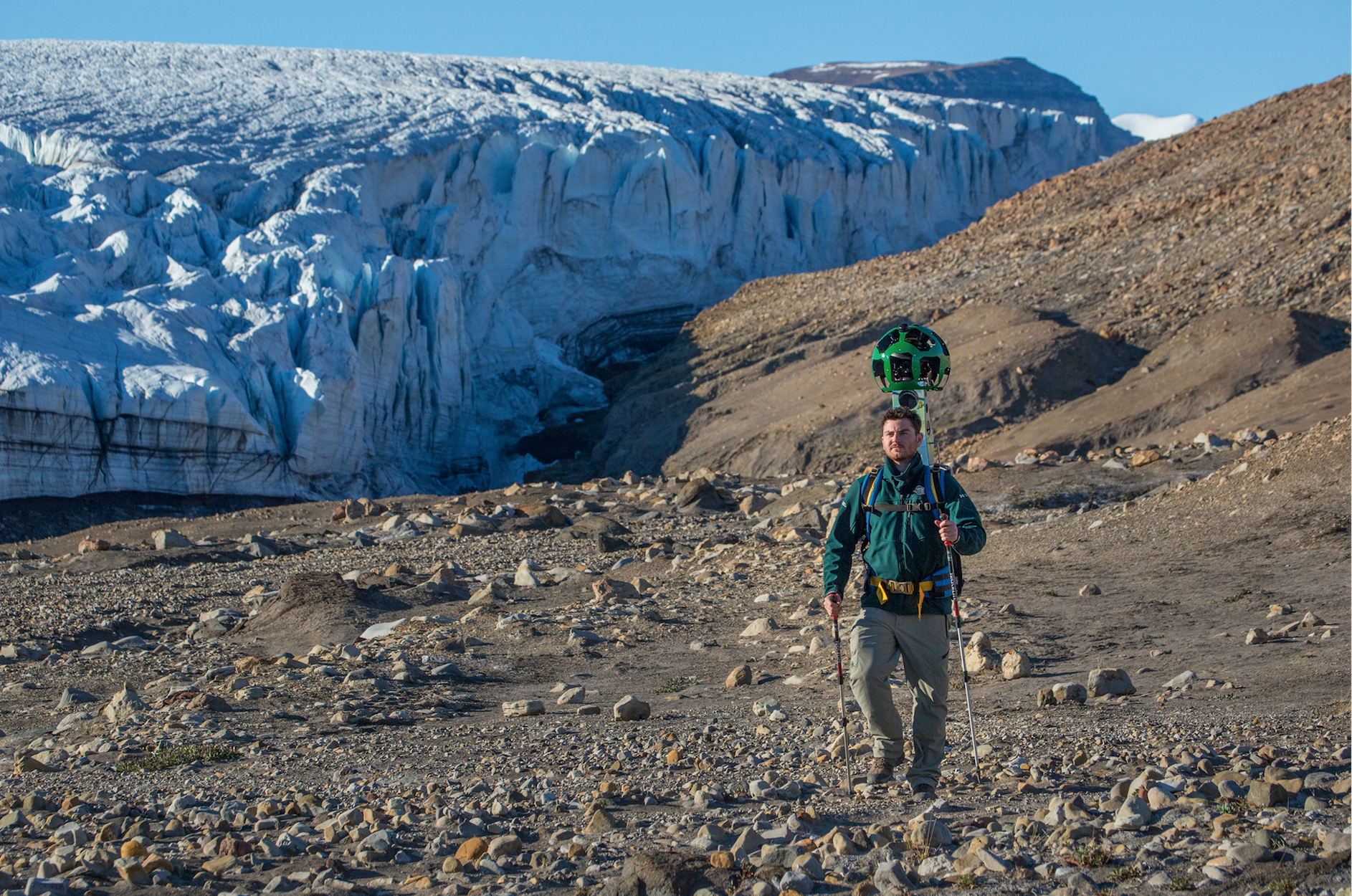
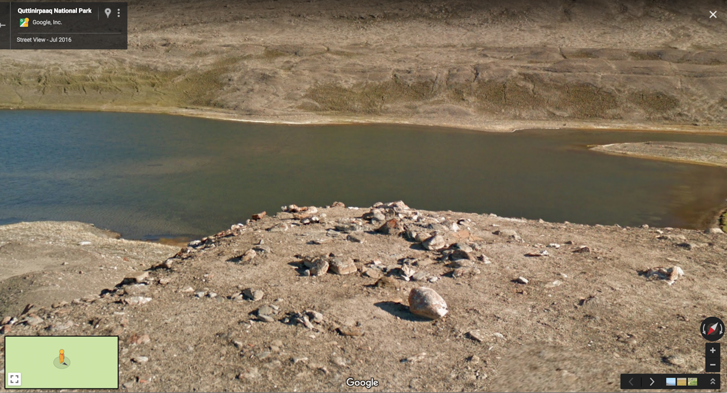
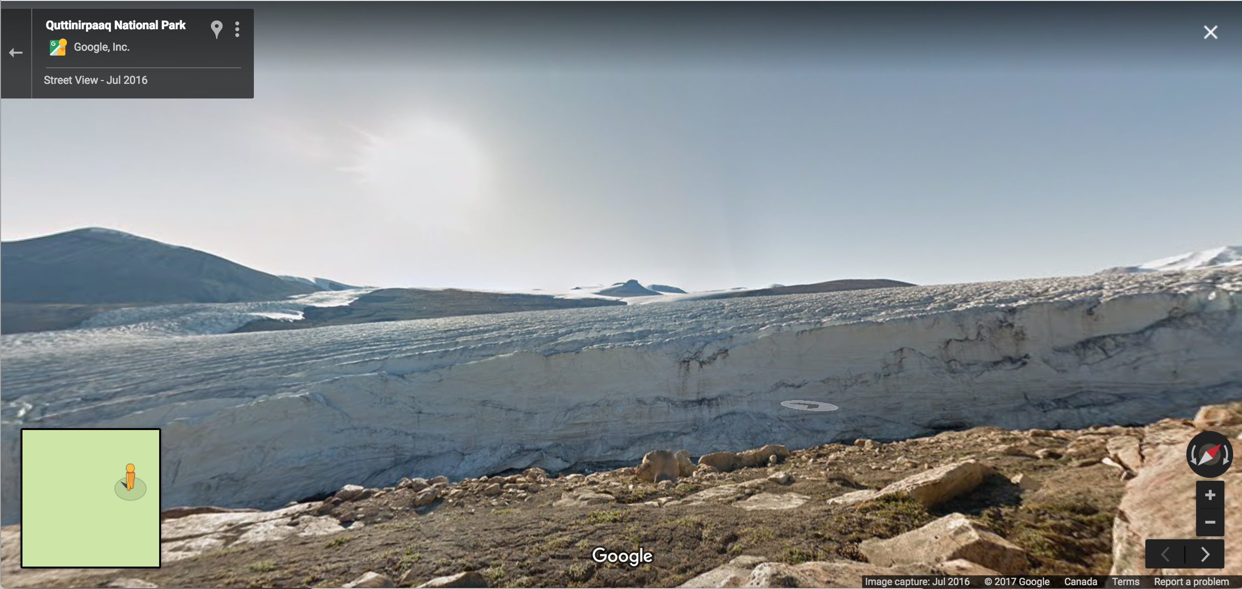
Google sent their Street View team to the park to go through some of the hiking trails there, and the images are stunning. While they can’t map out the entire park (it clocks in at just under 38,000 square kilometres), the team managed to get a good representation of its different environments—the glaciers, rocky mountains and shining lakes.

I typically use Street View to figure out which side of the road that new restaurant is on, so it’s a strange experience to have the freedom to explore somewhere as remote as Quttinirpaaq, especially with the lack of roads in most places on this map—it appears as though the Street View was recorded entirely on foot. I just clicked on some rocks and went from there. With everything going on nowadays, just check out some rocks and take a breather.
Get six of our favorite Motherboard stories every day by signing up for our newsletter.